053 Panorama Tour with Ötzi Trail
Quick Overview
| Distance | 41 km |
|---|---|
| Elevation gain | 1.500 m |
| Elevation gain | 1.500 m |
| Duration | 5:00 h |
|
Condition
1 = very easy (max. 200 hm) |
|
|
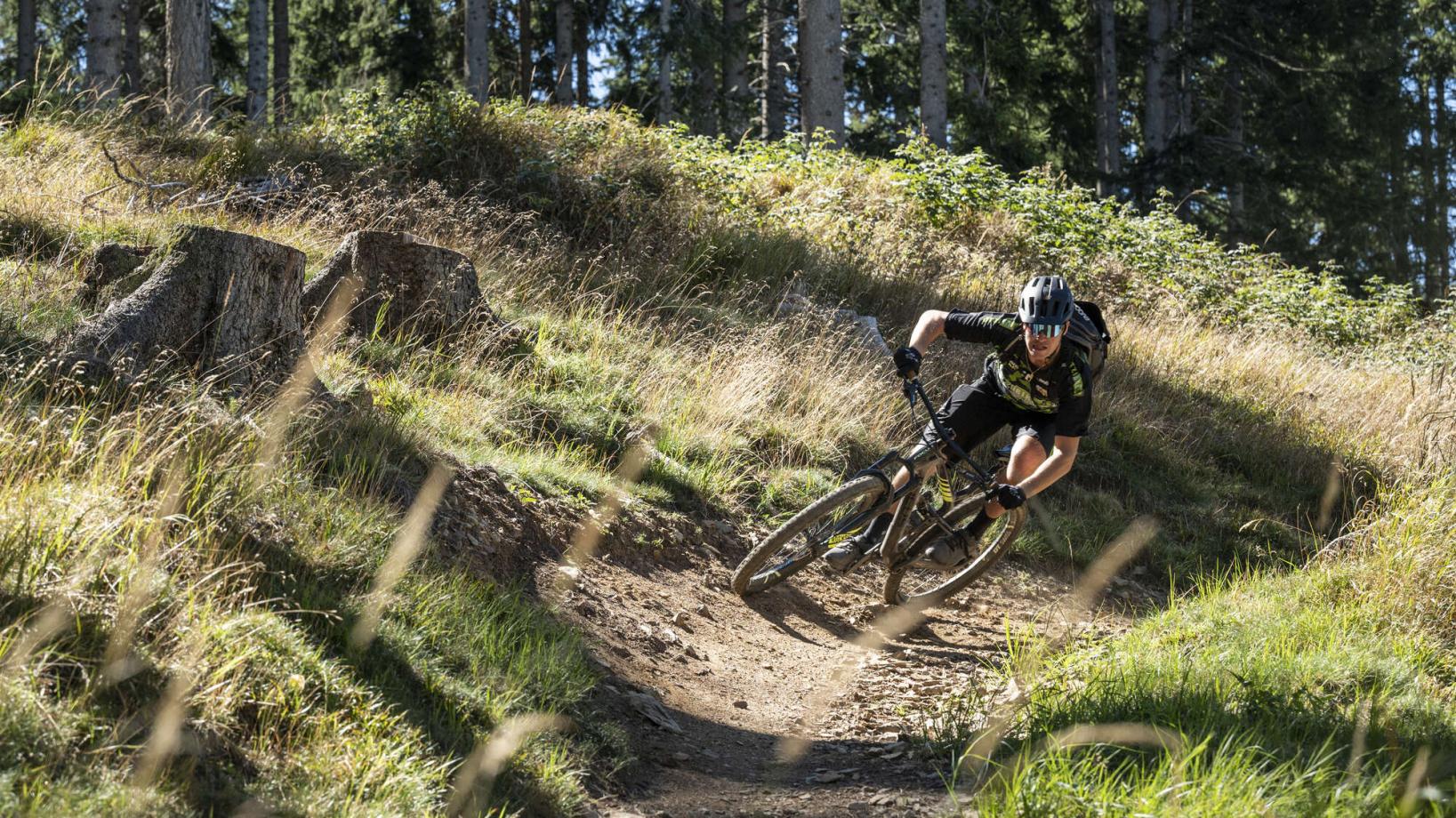
Driving technique (S0 - S5)
The rating of the driving technique is based on the values of singletrail-skala.de.
S0 = S0 describes a single trail that has no special difficulties. These are mostly liquid forest and meadow paths on grippy natural soils or gravel solidified. Stages, rock or root sections are not expected. The slope of the path is light to moderate, the curves are extensive. |
|
Tour months
Equipment
Course: Naturno – Stava – Ciardes – Castelbello – hut „Marzoner Alm“ –Bike Highline Merano – hut „Tablander Alm“ – hut „Mausloch Alm“ –Mausloch Panorama Trail –Ötzi Trail – Ötzi Flow Trail – Cirlano – Naturno
From the centre of Naturno (554 m) we follow Via Stazione to the bridge where the Etsch cycling path begins. We turn right onto the cycle path and follow it to Stava, Ciardes and then on to Castelbello. In Castelbello we turn left over the bridge and follow the road to Montefranco/ Freiberg and the hut “Marzoner Alm”. The first section is very steep and leads to the village of Montefranco/ Freiberg. From Montefranco/ Freiberg (1,200 m), a beautiful forest road winds its way up a pleasant slope to the hut ‘Marzoner Alm’ (1,600 m). From the hut ‘Marzoner Alm’ we follow the ‘Bike Highline Merano’ to the Tomberg and continue uphill to the hut ‘Tablander Alm’. We continue along the ‘Bike Highline Merano’ and after a short push we reach the forest path, which takes us to the hut ‘Mausloch Alm’ (1,835 m). From the hut ‘Mausloch Alm’ we first descend via the Mausloch Panorama Flowtrail (S1) and then via the Ötzi Trail (S3). In the valley, the Ötzi Flow Trail ends at the Waldschenke restaurant. From the Waldschenke restaurant, the road leads back to Naturno.
Back to the overview


