052 Panorama Tour with Lupo Trail
Quick Overview
| Distance | 37 km |
|---|---|
| Elevation gain | 900 m |
| Elevation gain | 1.700 m |
| Duration | 4:00 h |
|
Condition
1 = very easy (max. 200 hm) |
|
|
Driving technique (S0 - S5)
The rating of the driving technique is based on the values of singletrail-skala.de.
S0 = S0 describes a single trail that has no special difficulties. These are mostly liquid forest and meadow paths on grippy natural soils or gravel solidified. Stages, rock or root sections are not expected. The slope of the path is light to moderate, the curves are extensive. |
|
Tour months
Equipment
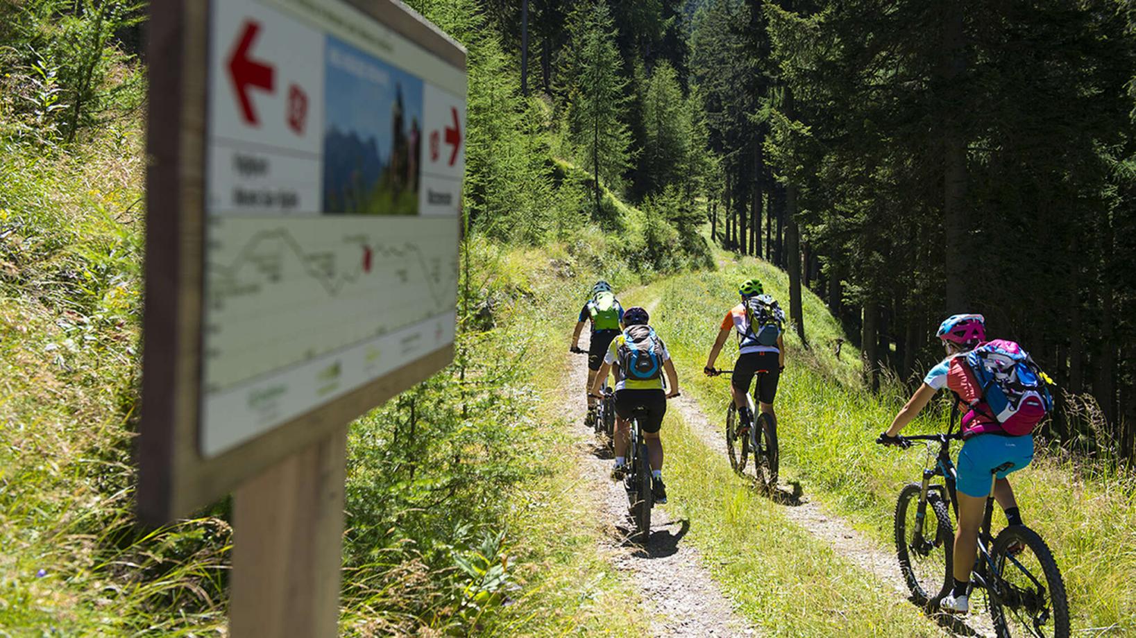
Course: Naturno – Rablá – cable car Rio di Lagundo – Rio di Lagundo – Uphill Vigiljoch – Bike Highline Merano – hut „Mausloch Alm“ – Mausloch Panorama Trail – hut “Tablander Alm” – Lupo Trail -Naturno
We set off from Naturn (554 m) and follow the cycle path to Rablá. Now the Rio di Lagundo cable car us comfortably to Rio di Lagundo (1.370 m). In Rio di Lagundo we follow the signs for Uphill Vigiljoch to the entrance/junction of the ‘Bike Highline Merano’. Here we keep to the right and continue along the forest trail to a crossroads below the “Naturnser Alm”. Here we again follow the signs for the Merano Bike Highline and descend to the ‘Kreuzbrünnl’ car park. Just before the car park, we turn left and the forest path leads us uphill to the hut ‘Mausloch’ (Frantsch Alm). From the hut ‘Mausloch’ alpine pasture (1.835 m), the panoramic Mausloch trail starts, taking us back to the ‘Bike Highline Merano’. We now follow it in the direction of the ‘Tablander Alm’ Bike Highline Merano. After a short push, we reach the Tablander Alm and follow the forest road downhill to the start of the Lupo Trail. We descend on the Lupo Trail and reach Tablá. Here we follow the road to the right and cycle through Cirlano to Naturno.
Back to the overview


